
Catalogue of Admiralty Charts and Publications (NP 131)
Catalogue of Admiralty Charts and Publications (NP 131) is a comprehensive reference guide that lists all the Admiralty charts and publications worldwide, organized by region. This catalogue provides graphical and textual details for each chart and publication, including electronic charts (ARCS), Admiralty distributors worldwide, and agents. The annual updates of the catalogue make it a reliable source of information for navigators, sailors, and marine professionals.
Introduction
Admiralty charts and publications are widely recognized as some of the most reliable and accurate sources of navigational information for mariners. These charts and publications are produced by the United Kingdom Hydrographic Office (UKHO), which has been responsible for charting the world’s oceans for over 200 years. The Catalogue of Admiralty Charts and Publications (NP 131) is an essential tool that provides navigators with easy access to comprehensive information about these charts and publications.
Structure of the Catalogue
The Catalogue of Admiralty Charts and Publications is organized by region, making it easy for navigators to find the charts and publications they need for a specific area. Each chart and publication is listed with its full details, including its number, title, edition, and scale. The catalogue also includes details of electronic charts (ARCS), Admiralty distributors worldwide, and agents.
Benefits of Using the Catalogue
Using the Catalogue of Admiralty Charts and Publications can save navigators time and money in the long run. With all the necessary information in one place, mariners can easily plan their voyages and avoid costly mistakes. The catalogue is also an excellent resource for marine professionals who need up-to-date information on charts and publications.
Updates and Availability
The Catalogue of Admiralty Charts and Publications is updated and published annually, ensuring that it contains the most up-to-date information available. The catalogue is available in both hard copy and digital formats, making it accessible to navigators worldwide.
How to Use the Catalogue
Navigating the Catalogue of Admiralty Charts and Publications can be a daunting task, but with a little practice, it becomes more manageable. The catalogue includes helpful tips on how to use it effectively. For example, it’s essential to understand the different regions and charts, and publications’ titles to find what you need quickly.
Catalogue of Admiralty Charts and Publications (NP 131) is a comprehensive reference guide that lists all the Admiralty charts and publications worldwide, organized by region. This catalogue provides graphical and textual details for each chart and publication, including electronic charts (ARCS), Admiralty distributors worldwide, and agents. The annual updates of the catalogue make it a reliable source of information for navigators, sailors, and marine professionals.
Introduction
Admiralty charts and publications are widely recognized as some of the most reliable and accurate sources of navigational information for mariners. These charts and publications are produced by the United Kingdom Hydrographic Office (UKHO), which has been responsible for charting the world’s oceans for over 200 years. The Catalogue of Admiralty charts and Publications (NP 131) is an essential tool that provides navigators with easy access to comprehensive information about these charts and publications.
Structure of the Catalogue
The Catalogue of Admiralty Charts and Publications is organized by region, making it easy for navigators to find the charts and publications they need for a specific area. Each chart and publication is listed with its full details, including its number, title, edition, and scale. The catalogue also includes details of electronic charts (ARCS), Admiralty distributors worldwide, and agents.
Benefits of Using the Catalogue
Using the Catalogue of Admiralty Charts and Publications can save navigators time and money in the long run. With all the necessary information in one place, mariners can easily plan their voyages and avoid costly mistakes. The catalogue is also an excellent resource for marine professionals who need up-to-date information on charts and publications.
Updates and Availability
The Catalogue of Admiralty Charts and Publications is updated and published annually, ensuring that it contains the most up-to-date information available. The catalogue is available in both hard copy and digital formats, making it accessible to navigators worldwide.
How to Use the Catalogue
Navigating the Catalogue of Admiralty Charts and Publications can be a daunting task, but with a little practice, it becomes more manageable. The catalogue includes helpful tips on how to use it effectively. For example, it’s essential to understand the different regions and charts, and publications’ titles to find what you need quickly.
FAQs
- What is the Admiralty Charts and Publications Catalogue (NP 131)?
The Admiralty Charts and Publications Catalogue (NP 131) is a comprehensive reference guide that contains graphical and textual details of all Admiralty charts and publications worldwide, listed by region.
- What information can be obtained from the catalogue?
The catalogue provides full details for each chart and publication, including details of electronic charts (ARCS) and Admiralty distributors worldwide.
- What are ARCS charts?
ARCS (Admiralty Raster Chart Service) charts are electronic charts produced by the Admiralty in a raster format. They offer several advantages over paper charts, such as fast access, easy updating, and better visualization.
- Can I access the Admiralty Catalogue (NP 131) online? Yes, the Admiralty Catalogue (NP 131) is available online and can be accessed through the UK Hydrographic Office website.
- Is the information in the Admiralty Catalogue (NP 131) up-to-date? Yes, the Admiralty Catalogue (NP 131) is updated and published annually, ensuring that sailors always have access to the most up-to-date information.
- Can I purchase Admiralty charts and publications directly from the UK Hydrographic Office? Yes, the UK Hydrographic Office sells Admiralty charts and publications directly to customers, and also works with a network of Admiralty Chart Agents around the world.
- What are the benefits of using electronic charts? Electronic charts provide a range of benefits over traditional paper charts, including automatic updates, improved accuracy, and improved safety.
- What is the Annual Summary of Notices to Mariners? The Annual Summary of Notices to Mariners is a publication that provides updates on all Admiralty charts and publications, including any corrections or updates. It is a valuable resource for sailors who want to ensure that they have the most up-to-date information on navigational hazards and other important information.
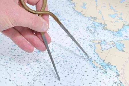
2nd mate

3rd mate

Cargo Handling
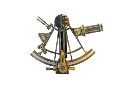
Celestial Navigation

Chief Officer

Deck Cadet

INSTRUMENTS ON BOARD

Maritime Softwares

ship safety

Ship Stability

Terrestrial Navigation


