Aids to Navigation: Ensuring Maritime Safety and Smooth Sailing
At Marine Course Center, we understand the critical role that aids to navigation play in ensuring the safety and efficiency of maritime operations. With Malaysia’s expansive coastline of over 4,500 kilometers and the increasing volume of ships navigating its waters, these navigational aids are indispensable for guiding vessels safely to their destinations.
In this guide, we’ll explore the various aids to navigation, their importance, and how they contribute to maritime safety. Whether you’re a seasoned mariner or a student pursuing a marine course, this information is essential for understanding the tools that keep our waters safe and secure.
Table of Contents
- What Are Aids to Navigation?
- Lighthouses: Guiding Ships for Centuries
- Beacons: Permanent Markers for Safe Passage
- Buoys: Floating Guardians of the Sea
- The Marine Electronic Highway (MEH): A Modern Approach to Navigation
- Traffic Separation Scheme (TSS): Reducing Risks at Sea
- Why Choose Marine Course Center?
- Explore Our Courses Today!
- Frequently Asked Questions (FAQ)
What Are Aids to Navigation?
Aids to navigation are systems, structures, or devices designed to assist ships in navigating safely through waterways. They include lighthouses, beacons, and buoys, all of which are strategically placed along coastlines and shipping routes. In Malaysia, these aids are meticulously maintained and managed by the Light Dues Board, under the administration of the Marine Department Malaysia.
Lighthouses: Guiding Ships for Centuries
Lighthouses have been a cornerstone of maritime navigation for centuries. The Malacca Lighthouse, built in the mid-1800s, was the first of its kind in Malaysia. Today, there are 40 lighthouses across the country, many equipped with radar systems to provide precise guidance to ships.
These towering structures serve as beacons of safety, helping vessels avoid hazardous areas and navigate through challenging waters. For mariners, understanding how to interpret lighthouse signals is a fundamental skill taught in our marine navigation courses.
Beacons: Permanent Markers for Safe Passage
Beacons are permanent structures installed at specific locations to mark navigational channels, rocks, shoals, and other potential hazards. Unlike lighthouses, beacons are often smaller and more localized, but they play an equally vital role in ensuring safe passage for ships.
At Marine Course Center, we emphasize the importance of recognizing and utilizing beacons in your navigation strategies. These markers are essential for avoiding accidents and ensuring smooth sailing.
Buoys: Floating Guardians of the Sea
Buoys are floating devices anchored to the seabed with chains. They mark the boundaries of navigational channels, shipwrecks, anchorage areas, and dangerous zones. Color-coded and equipped with lights or sound signals, buoys provide real-time information to mariners, helping them make informed decisions while at sea.
In our marine safety courses, we teach students how to interpret buoy signals and use them effectively to navigate safely.
The Marine Electronic Highway (MEH): A Modern Approach to Navigation
The Marine Electronic Highway Demonstration Project (MEH Project) is a groundbreaking initiative funded by the Global Environment Facility (GEF) and the International Bank for Reconstruction and Development (IBRD). This project, involving Indonesia, Malaysia, and Singapore, aims to enhance maritime safety and environmental protection in the Straits of Malacca and Singapore.
The MEH project focuses on three key components:
- Protection of the Marine Environment
- Safety and Security of Marine Traffic
- Sustainability of Funding
By integrating advanced technology and international collaboration, the MEH project ensures that these vital waterways remain safe and sustainable for future generations.
Traffic Separation Scheme (TSS): Reducing Risks at Sea
The Traffic Separation Scheme (TSS) is another critical initiative implemented in the Straits of Malacca. This system separates inbound and outbound shipping lanes, reducing the risk of collisions and close-quarter situations. Managed by the Marine Department of Malaysia, the TSS is a testament to the country’s commitment to maritime safety.
Why Choose Marine Course Center?
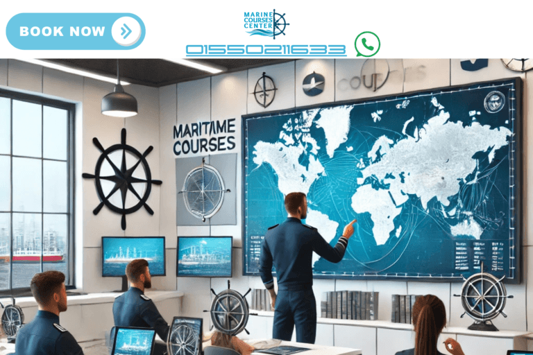
At Marine Course Center, we are dedicated to providing comprehensive training on aids to navigation, maritime safety, and modern navigation technologies. Our courses are designed to equip you with the knowledge and skills needed to navigate safely and efficiently in today’s dynamic maritime environment.
Whether you’re looking to enhance your expertise or start a career in the maritime industry, our expert instructors and hands-on training programs will prepare you for success.
Explore Our Courses Today!
Ready to take your maritime skills to the next level? Visit our website to learn more about our marine navigation courses, safety training programs, and other offerings. At Marine Course Center, we’re here to help you navigate the seas with confidence and expertise.
Contact us today to enroll or request more information. Let’s set sail toward a safer and brighter maritime future together!
Frequently Asked Questions (FAQ)
1. What are aids to navigation?
Aids to navigation are systems, structures, or devices like lighthouses, beacons, and buoys that help ships navigate safely through waterways. They mark hazards, channels, and other critical points to ensure safe passage.
2. Why are lighthouses important?
Lighthouses provide visual and radar-based guidance to ships, helping them avoid dangerous areas and navigate safely, especially in poor visibility conditions.
3. What is the purpose of buoys?
Buoys mark navigational channels, shipwrecks, anchorage areas, and hazardous zones. They are color-coded and often equipped with lights or sound signals to assist mariners.
4. What is the Marine Electronic Highway (MEH)?
The MEH is a project aimed at enhancing maritime safety and environmental protection in the Straits of Malacca and Singapore through advanced technology and international collaboration.
5. How does the Traffic Separation Scheme (TSS) work?
The TSS separates inbound and outbound shipping lanes to reduce the risk of collisions and ensure orderly marine traffic flow in busy waterways like the Straits of Malacca.
6. What courses does Marine Course Center offer?
We offer a range of courses, including marine navigation, safety training, and modern navigation technologies, designed to equip mariners with essential skills for safe and efficient sailing.
7. How can I enroll in a course?
Visit our website or contact us directly to explore our course offerings and enroll in the program that best suits your needs.